Seal Beach officials announced that a segment of the San Gabriel River Bike Trail between the Marina Drive Bridge and the 1st Street parking lot will be closed from November 13th through early January 2019, due to grading operations at the Ocean Place Development (the former DWP site) at the corner of Marina Drive and First Street.
A dedicated bike trail detour will be in place starting Tuesday, Nov. 13, which will lead cyclists to the 1st Street parking lot.
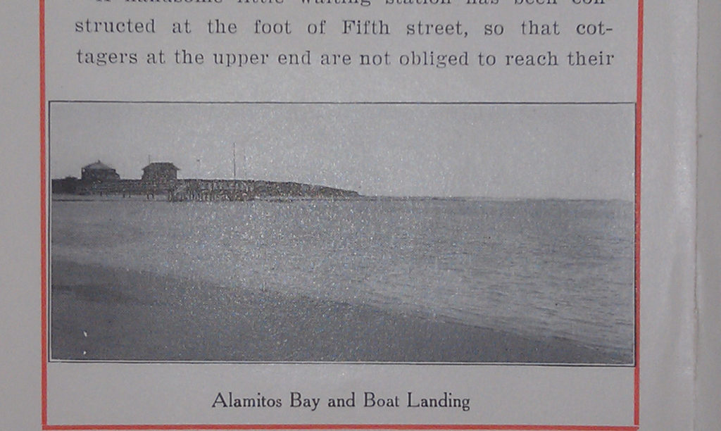
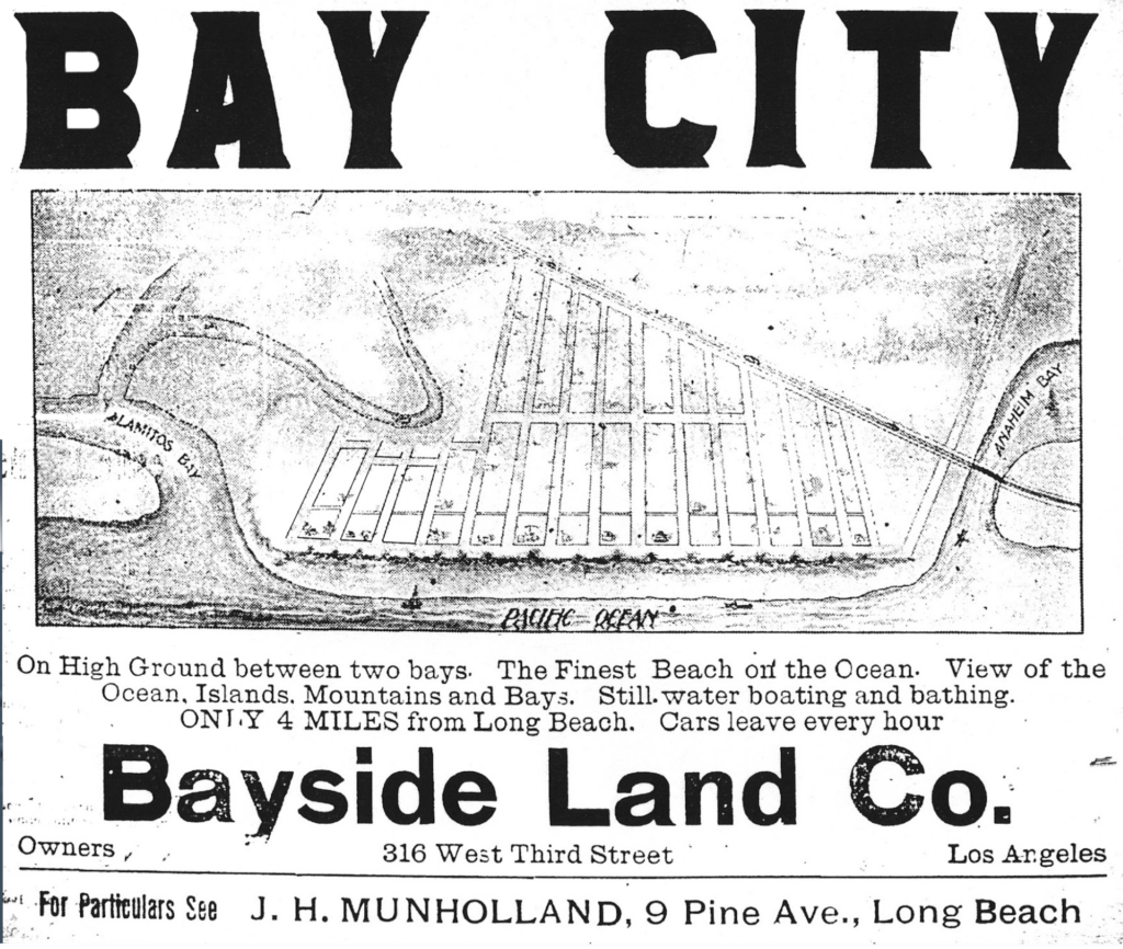
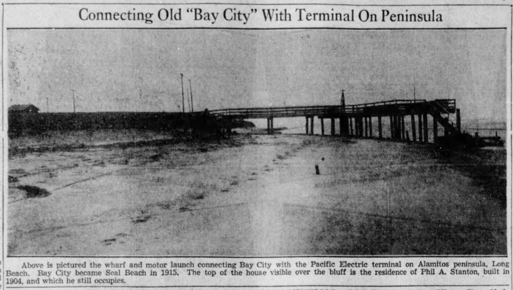
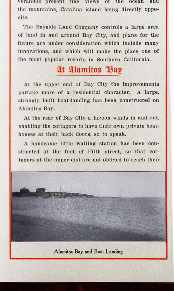
During recent grading operations, the grading contractor uncovered a portion of an old wooden seawall toward the northwest corner of the property. The seawall is estimated to have been constructed between 1915 and 1920. [Prior to the channelization of the San Gabriel River in the early 1930s, the river emptied into Alamitos Bay up by the current police station, and sloughs of Alamitos Bay wrapped around Ocean Avenue onto the lowlands of current Central Place and Central Avenue west of 5th. Some of the homes on 5th Street had wharves where residents docked their boats. Our guess is the seawall was constructed around 1913 when the Guy M. Rush Company optioned the struggling Bay City development from P.A. Stanton’s Bayside Land Company and put a lot of money into upgrading the town. Among Rush’s improvements were convincing the PE to run tracks across an Ocean Avenue bridge, building a school on PCH and 11th, and changing the development’s name from Bay City to Seal Beach.]
The remaining portion of the seawall that was discovered during the recent grading will be removed using specialized, heavy equipment that will need to be placed near the adjacent River Bike Trail. As a precaution, the city is closing this segment of the River Bike Trail while the seawall is removed.