For the local history buffs among us, Mike Dobkins has another interesting post in his This Day in Seal Beach blog about a 1924 request to dredge in Alamitos Bay and use the dredged material as landfill for a new tract of land north of the Coast Highway. The Coast Highway at that time was the road/bridge across the shallow Alamitos Bay swamps to Naples Island so the landfill would include the present Bay City center (Yucatan grill,Glory Days, Koi, etc.) and the fabulous Marina Palms, the Trailer Park, Marina center, etc. Dobkins post includes a very early aerial photos of the old town area. These were taken in 1922 — which means pre “The Hill” (1956), pre-Trailer Park (late 1940s), pre-Glider Inn (1930), pre-Surfside and pre-gambling ships (1929), and pre-Seal Beach Airport (1927) and pre Pacific Coast Highway )1926), and pre power plant (1925). Take a closer look here.
1922 aerial view, (with labels) showing the town. courtesy of Michael Dobkins, This Day in Seal Beach.
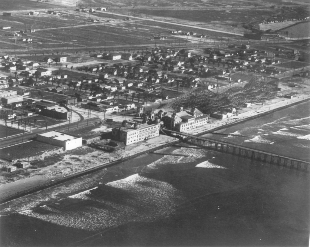
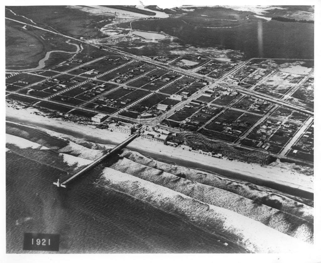
and here are a couple more old aerials thrown in for good measure. These were taken the year before in 1921.
This 1921 aerial shows the part of town that was built up (mainly between Main Street and Anaheim Landing. Seal Beach had experienced a major drop in business after the arrival of Prohibition in 1919,
This view from a 1921 Navy aerial shows all the vacant lots that still existed over west of Main Street. The town was essentially a failed real estate investment by this time.
Dobkins always has some great stuff in his self-financed blog. If you like local history, give some consideration to donating to it.